

Improvement Location Certificate (ILC)
An Improvement Location Certificate (ILC) is a type of land survey that is used to determine the location and status of improvements on a property. Improvements refer to any man-made structures on the property, such as buildings, driveways, sidewalks, and fences.
The ILC is typically requested by lenders, real estate agents, and title insurance companies as part of a real estate transaction. The purpose of the ILC is to ensure that the improvements on the property are in compliance with local zoning and building codes, and to identify any potential issues that could affect the property's value or use.
The ILC includes a detailed map of the property, showing the location and dimensions of the improvements, as well as any easements or encroachments that may affect the property. The surveyor will also review public records and building permits to confirm that the improvements on the property are legal and up to code.
The ILC is an important tool for both buyers and sellers in a real estate transaction. For buyers, the ILC helps to ensure that they are aware of any potential issues with the property before they make an offer. For sellers, the ILC can help to identify any issues that need to be addressed before the property can be sold, which can help to avoid delays or complications in the sale process.
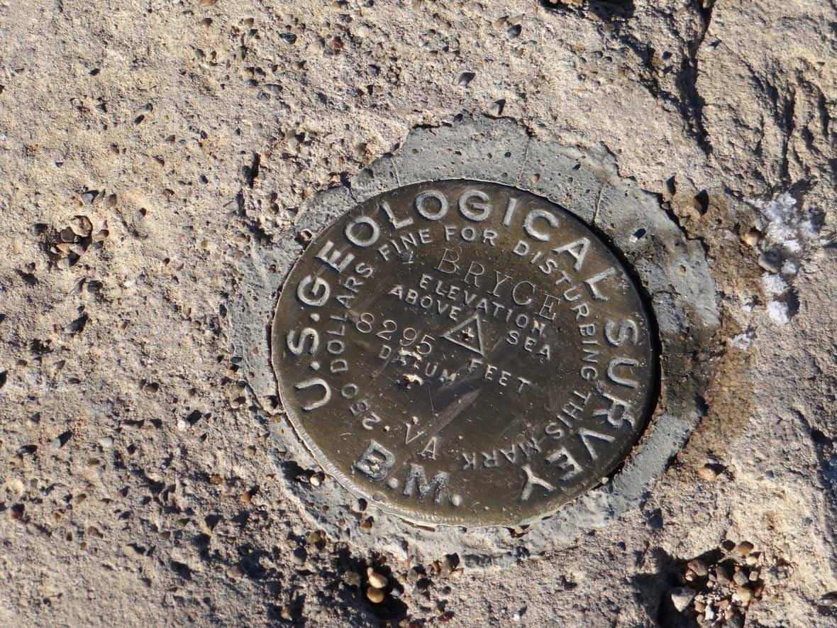
Topographic Survey
A topographic survey is a type of land survey that maps out the physical features of a piece of land, including its elevation, contours, trees, bodies of water, and other natural and man-made features. This type of survey is used to create a detailed and accurate representation of the land, which can be used for a variety of purposes.
The primary purpose of a topographic survey is to provide detailed information about the land, which can be used for engineering and architectural design projects. For example, a topographic survey may be used to design a new road or building, or to plan a landscaping project. By accurately mapping the elevation and contours of the land, a topographic survey can help architects and engineers to design structures that are both functional and aesthetically pleasing.
In addition to its use in engineering and design projects, a topographic survey can also be used for environmental and geological studies. For example, a topographic survey may be used to map out the contours of a river or stream, to identify areas of erosion or sedimentation, or to assess the potential impact of a landslide or other natural disaster.
A topographic survey typically involves the use of specialized equipment, such as a total station or a GPS unit, to accurately measure and map out the land. The surveyor will typically take measurements at regular intervals across the site, and use these measurements to create a detailed map of the land's contours and features.

Improvement Survey Plat (ISP)
An improvement survey plat is a type of map or diagram that shows the boundaries and features of a piece of land, as determined by a land survey. This type of plat is used to document the results of a survey, and is typically required by local governments for land use and development applications.
The improvement survey plat typically includes a drawing of the property lines and boundary markers, as well as any improvements or structures on the property, such as buildings, driveways, and fences. The plat may also include information about easements, rights of way, and other legal restrictions on the property.
The improvement survey plat is typically used for a variety of purposes, including land use planning, property development, and property transactions. For example, a developer may use the plat to design a new subdivision, or a property owner may use the plat to obtain a building permit for a new structure.
In addition to its use in land use planning and property development, an improvement survey plat may also be used in legal disputes involving property boundaries or other land-related issues. The plat can serve as a visual representation of the property boundaries and other features, and can be used to help resolve disputes or clarify legal issues.
ALTA Survey
An ALTA (American Land Title Association) survey is a comprehensive type of land survey that is used for commercial real estate transactions, including the sale, purchase, or refinancing of a property. This type of survey is more detailed and extensive than a standard land survey, and includes information about a variety of factors that can affect the value and use of the property.
An ALTA survey includes information about the property boundaries, as well as any easements, encroachments, or other restrictions that may affect the property. The survey also includes information about the location and condition of any improvements on the property, such as buildings, parking lots, and sidewalks.
In addition to these basic elements, an ALTA survey may also include information about a variety of other factors that can affect the property, including:
Zoning restrictions and setbacks
Flood zones and other environmental hazards
Access to utilities and services
Rights of way and other legal restrictions
Evidence of unrecorded agreements or encroachments
An ALTA survey is typically required by lenders and title insurance companies as part of a commercial real estate transaction. The survey helps to ensure that the property is in compliance with local regulations and zoning restrictions, and that the title is clear of any encumbrances or other issues that could affect the buyer's ability to use the property as intended.


FEMA Flood Elevation Certificate
A FEMA (Federal Emergency Management Agency) Flood Certificate is a type of survey that is used to determine a property's risk of flooding. This certificate provides information about whether a property is located in a designated flood zone, as well as the degree of flood hazard associated with that zone.
FEMA Flood Certificates are typically used by property owners and insurance companies to assess the risk of flooding and determine the appropriate level of flood insurance coverage. In many cases, lenders may require a FEMA Flood Certificate as a condition of providing a mortgage loan on a property.
The Flood Certificate typically includes information about the property's elevation relative to nearby water sources, as well as the risk of flooding based on historical flood data and projections of future flood events. The certificate may also include information about any flood control structures or drainage systems in the area that could affect the property's flood risk.
FEMA Flood Certificates are particularly important for properties located in areas that are prone to flooding, such as those near rivers, lakes, or coastal areas. By assessing the risk of flooding and providing information about the appropriate level of flood insurance coverage, these certificates can help property owners and insurance companies to mitigate the financial risks associated with flood damage.
Other Surveying Products
Monumented Land Survey/Pin Survey
Subdivision Plat
Parcel Split/Combination of Parcel
Site Plans/Plot Plans
Construction Staking
As-Built Survey
Easement Exhibits
Legal Descriptions
Setback Verification Forms
Lot line Adjustment